Plaza Aquiles Serdan Radial Street Colonia Federal
architecture
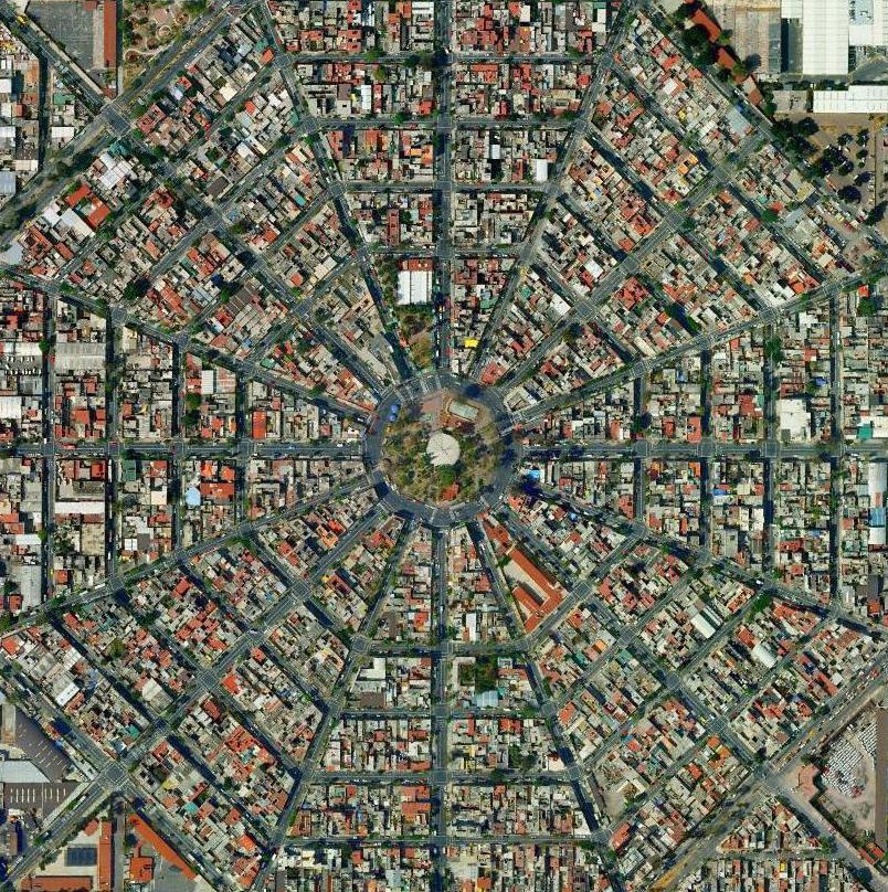
An aerial satellite view of a densely populated urban neighborhood with a radial street pattern emanating from a central circular plaza. The image shows hundreds of residential buildings with terracotta and red roofs, organized streets in a distinctive fan or wheel-like layout typical of planned city development.
General Description · Claude Haiku 4.5
Distinctive octagonal 'spider web' street pattern with 16 avenues radiating from a circular central plaza with a domed kiosk. This aerial view is widely circulated as an iconic image of Colonia Federal near Mexico City's international airport. Dense low-rise concrete housing with flat roofs, water tanks and red-tinted surfaces fits Mexico City's working-class colonias. Large industrial/warehouse roofs at the edges are consistent with the area around the airport.
Location Identification · Claude Opus 5